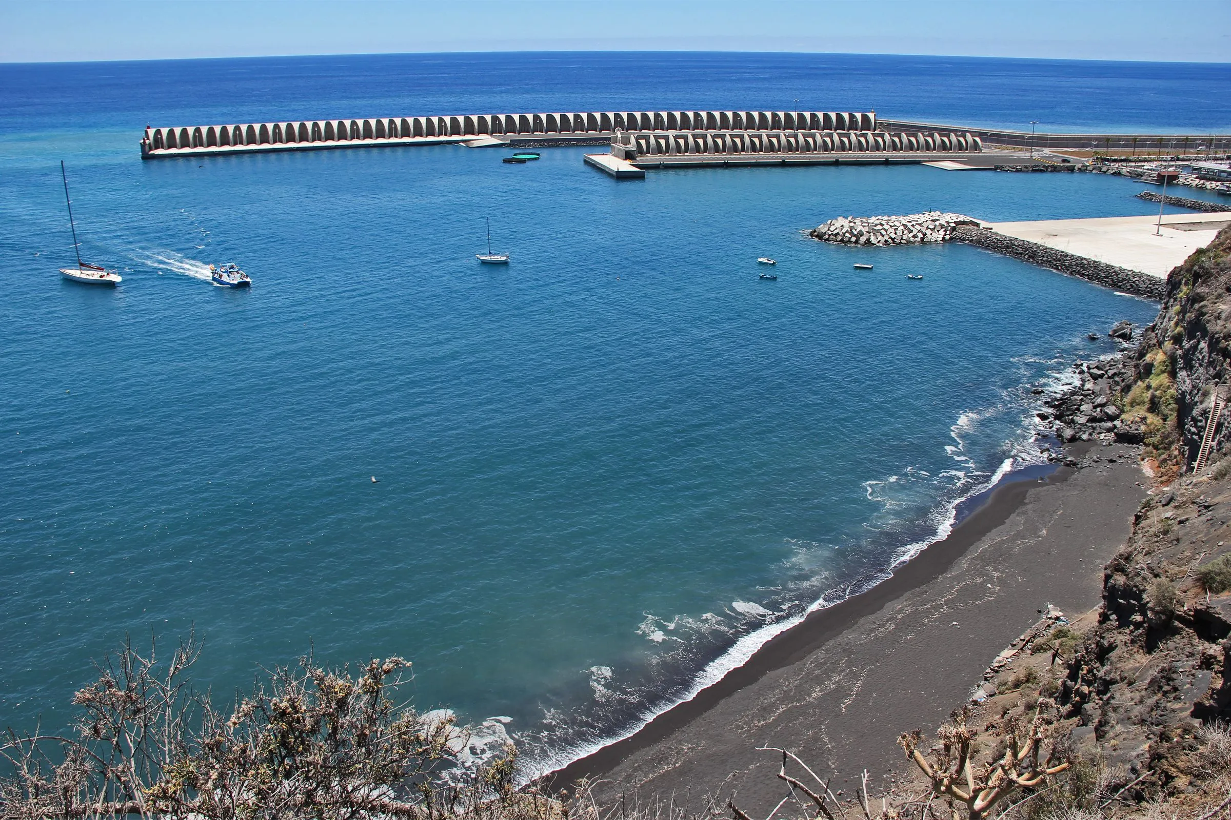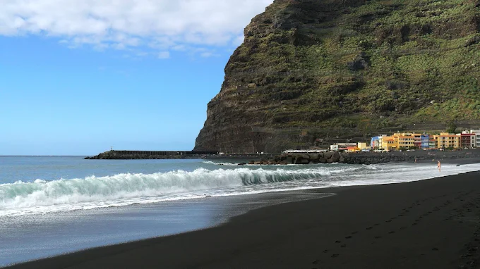
The GR-131 is one of the most emblematic hiking routes in the Canary Islands. In Tazacorte, its island route begins (or ends), climbing from sea level to 2,426 meters at the
The initial section, known by many as
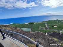
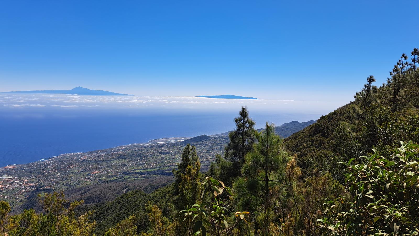
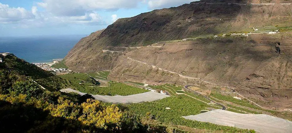
As you ascend, you go from the tropical environment of the coast to the summit pine forests, crossing different ecosystems in a single day. It is a demanding route, but of incomparable beauty and with a strong symbolic component: the journey from the ocean to the sky.
What to do on the GR-131?
- Start the route at dawn to see how the sun illuminates the valley.
- Stop at the El Time Viewpoint and enjoy the views over Tazacorte.
- Divide the route into sections or descend towards the Port for a lighter experience.
- Record the route with your hiker accreditation from the Camino Natural de La Palma.